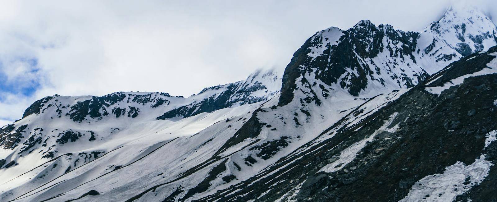
The Manaslu Circuit Trek is one of Nepal's most rewarding Himalayan adventures, taking trekkers through remote mountain villages, beautiful forests, traditional settlements, and spectacular high-altitude landscapes. One of the most important things to understand before starting this journey is the Manaslu Circuit altitude profile, which shows how elevation changes throughout the trek.
Understanding the Manaslu Circuit Trek elevation by day helps travelers prepare physically, plan their acclimatization, and understand the challenges associated with high-altitude trekking. At Best Heritage Tour, we believe that knowing what to expect at each elevation makes the journey more comfortable, enjoyable, and rewarding.
This guide explains the Manaslu Circuit altitude profile, daily elevation changes, maximum altitude, acclimatization, altitude sickness risks, and practical preparation tips for trekkers planning this Himalayan adventure.
Manaslu Circuit Trek Altitude Overview
The Manaslu Circuit Trek is a high-altitude trekking adventure in the Manaslu region of Nepal. The route gradually gains elevation from the Budhi Gandaki River valley before reaching the high Himalayan terrain surrounding Larkya La Pass.
The highest point of the trek is Larkya La Pass, located at approximately 5,106 meters (16,751 feet). Trekkers reach this elevation on Day 10 before descending to Bhimthang.
Although the trek begins at a relatively low altitude, the elevation increases significantly as the trail approaches Samagaon, Samdo, and Dharmasala. This gradual ascent makes acclimatization an important part of the trekking experience.
Here are the essential altitude details:
-
Starting point: Kathmandu, approximately 1,400 meters (4,593 feet)
-
Trek starting point: Machha Khola, approximately 760 meters (2,493 feet)
-
Highest overnight settlement: Dharmasala, approximately 4,460 meters (14,632 feet)
-
Highest point: Larkya La Pass, approximately 5,106 meters (16,751 feet)
-
Main acclimatization stop: Samagaon, approximately 3,500 meters (11,483 feet)
-
Trek duration: 12 days, including the return drive to Kathmandu
The route includes both ascents and descents, so the elevation of an overnight stop does not always represent the highest point reached during that day.
Manaslu Circuit Altitude Profile: Elevation by Day
The following table shows the elevation profile of the 12-day Manaslu Circuit itinerary provided by Best Heritage Tour. It includes the overnight destination elevations and the highest point reached during the trek.
|
Day |
Route |
Overnight elevation |
|
Day 1 |
Kathmandu to Machha Khola |
760 m (2,493 ft) |
|
Day 2 |
Machha Khola to Jagat |
1,300 m (4,265 ft) |
|
Day 3 |
Jagat to Deng |
1,860 m (6,102 ft) |
|
Day 4 |
Deng to Namrung |
2,630 m (8,628 ft) |
|
Day 5 |
Namrung to Lho Gaon |
3,100 m (10,171 ft) |
|
Day 6 |
Lho Gaon to Samagaon |
3,500 m (11,483 ft) |
|
Day 7 |
Acclimatization in Samagaon |
3,500 m (11,483 ft) |
|
Day 8 |
Samagaon to Samdo |
3,850 m (12,631 ft) |
|
Day 9 |
Samdo to Dharmasala |
4,460 m (14,632 ft) |
|
Day 10 |
Dharmasala to Bhimthang via Larkya La Pass |
5,106 m (16,751 ft) |
|
Day 11 |
Bhimthang to Goa |
2,015 m (6,610 ft) |
|
Day 12 |
Goa to Tilije, then drive to Kathmandu |
1,400 m (4,593 ft) |
Note: Actual elevations can vary slightly depending on the exact accommodation and route.
Day-by-Day Manaslu Circuit Trek Elevation Explained
Day 1: Kathmandu to Machha Khola - 760 m (2,493 ft)
The Manaslu Circuit journey begins in Kathmandu, located at approximately 1,400 meters (4,593 feet). From here, trekkers travel by road toward Machha Khola, the starting point of the trekking route.
Machha Khola sits at approximately 760 meters (2,493 feet), meaning the journey initially descends into the lower river valleys.
Day 2: Machha Khola to Jagat - 1,300 m (4,265 ft)
The trek begins with a gradual climb from Machha Khola toward Jagat. The trail follows the Budhi Gandaki River through narrow valleys, suspension bridges, and traditional settlements.
Jagat lies at approximately 1,300 meters (4,265 feet). Although the elevation gain is moderate, the route includes repeated ascents and descents.
Day 3: Jagat to Deng - 1,860 m (6,102 ft)
On Day 3, the trail continues toward Deng, reaching approximately 1,860 meters (6,102 feet).
The route passes through villages, forested sections, and river valleys. As trekkers move farther into the Manaslu region, the surrounding landscape begins to change.
Day 4: Deng to Namrung - 2,630 m (8,628 ft)
The journey continues toward Namrung, located at approximately 2,630 meters (8,628 feet).
This is an important stage of the Manaslu Circuit altitude profile because trekkers begin to experience more noticeable effects of increasing elevation.
Day 5: Namrung to Lho Gaon - 3,100 m (10,171 ft)
Day 5 takes trekkers to Lho Gaon at approximately 3,100 meters (10,171 feet).
The landscape becomes more alpine, with wider mountain views and traditional stone houses. The changing scenery provides a clear indication that trekkers are moving into higher Himalayan terrain.
Day 6: Lho Gaon to Samagaon - 3,500 m (11,483 ft)
The trail climbs toward Samagaon, one of the most important settlements along the Manaslu Circuit.
Located at approximately 3,500 meters (11,483 feet), Samagaon is a major stop for acclimatization before the trek continues toward Samdo and Dharmasala.
The surrounding landscape features impressive Himalayan scenery, traditional mountain settlements, and views of the Manaslu region.
Day 7: Acclimatization Day in Samagaon - 3,500 m (11,483 ft)
Day 7 is reserved for acclimatization in Samagaon.
This rest day gives the body additional time to adjust to the reduced oxygen availability at higher elevations. Trekkers may take a gentle acclimatization walk, explore the surrounding area, or simply rest.
Day 8: Samagaon to Samdo - 3,850 m (12,631 ft)
After acclimatization, the trek continues toward Samdo, located at approximately 3,850 meters (12,631 feet).
The trail gradually climbs through open mountain landscapes with increasingly dramatic views. Compared with the lower sections of the route, vegetation becomes less dense and the surroundings feel more rugged.
Day 9: Samdo to Dharmasala - 4,460 m (14,632 ft)
Day 9 is one of the most important stages of the Manaslu Circuit altitude profile.
Trekkers climb from Samdo to Dharmasala, also known as Larkya Phedi, at approximately 4,460 meters (14,632 feet). This is the final overnight stop before crossing Larkya La Pass. The environment becomes colder and more exposed, and the reduced oxygen level can make even moderate walking feel challenging.
Day 10: Dharmasala to Bhimthang via Larkya La Pass - 5,106 m (16,751 ft)
Day 10 is the most demanding and memorable day of the Manaslu Circuit Trek.
Trekkers begin early from Dharmasala and gradually climb toward Larkya La Pass, reaching approximately 5,106 meters (16,751 feet). The pass is the highest point of the entire journey and offers spectacular views of surrounding Himalayan peaks.
After crossing Larkya La Pass, the trail descends toward Bhimthang, located at approximately 3,720 meters (12,205 feet).
Day 11: Bhimthang to Goa - 2,015 m (6,610 ft)
After crossing Larkya La Pass, the trek continues downhill toward Goa.
The route descends through forests, river valleys, and traditional settlements. Goa is located at approximately 2,015 meters (6,610 feet), marking a significant return to lower elevations.
Day 12: Goa to Tilije and Drive to Kathmandu
The final trekking day begins with a walk from Goa toward Tilije, located at approximately 1,500 meters (4,921 feet).
From Tilije, trekkers travel by road toward Kathmandu, which sits at approximately 1,400 meters (4,593 feet).
How High Is Larkya La Pass?
Larkya La Pass is the highest point of the Manaslu Circuit Trek, reaching approximately 5,106 meters (16,751 feet) above sea level.
The pass is crossed on Day 10, during the trek from Dharmasala to Bhimthang.
At this elevation, oxygen availability is significantly lower than at sea level. Trekkers may experience increased breathing effort, fatigue, or altitude-related symptoms. The crossing can also involve cold temperatures, strong winds, snow, or icy trail conditions, depending on the season.
Proper acclimatization, suitable clothing, an early start, and a steady walking pace are important for preparing for the pass.
How Difficult Is the Manaslu Circuit Trek Due to Altitude?
The Manaslu Circuit Trek is generally considered a challenging high-altitude trek because of its long walking days, changing terrain, and the crossing of Larkya La Pass. Altitude is one of the main factors that makes the journey demanding. As trekkers move above 3,000 meters, the body receives less oxygen with each breath.
The most challenging altitude sections include:
-
Namrung to Lho Gaon, where the route reaches approximately 3,100 meters.
-
Lho Gaon to Samagaon, where the elevation reaches approximately 3,500 meters.
-
Samdo to Dharmasala, where trekkers sleep at approximately 4,460 meters.
-
Dharmasala to Larkya La Pass, where the trek reaches 5,106 meters.
Previous trekking experience can be helpful, but physical fitness alone does not eliminate the risk of altitude sickness.
Trekkers should be prepared for several consecutive walking days, changing weather conditions, and the possibility of slower progress at higher elevations.
How to Prepare for the Manaslu Circuit Altitude
Proper preparation helps trekkers manage the physical and altitude-related challenges of the Manaslu Circuit Trek.
1. Follow a Gradual Ascent
A gradual ascent gives the body more time to adjust to increasing elevation. The itinerary includes an acclimatization day in Samagaon before continuing toward Samdo and Dharmasala.
2. Walk at a Comfortable Pace
Avoid rushing, especially above 3,000 meters. A steady pace with regular breaks helps conserve energy and makes walking more manageable.
3. Stay Hydrated and Eat Properly
Drink water regularly and maintain a balanced diet throughout the trek. Adequate food and fluid intake help support energy levels during long walking days.
4. Prepare Physically Before the Trek
Regular walking, hiking, stair climbing, and cardiovascular exercise can improve endurance. Training should focus on preparing for consecutive days of walking rather than only short, intense workouts.
5. Choose an Appropriate Itinerary
A well-planned itinerary should allow time for acclimatization and avoid unnecessarily rapid altitude gain.
At Best Heritage Tour, we recommend discussing your previous trekking experience, physical preparation, and any health concerns before departure so that the trekking plan can be understood and prepared for appropriately.
Conclusion
The Manaslu Circuit altitude profile shows how the trek gradually progresses from the lower Budhi Gandaki River valley to the high Himalayan terrain surrounding Larkya La Pass.
Understanding the elevation by day helps trekkers prepare physically, recognize altitude-related challenges, and appreciate the importance of acclimatization. With suitable preparation, a well-planned itinerary, and responsible trekking practices, the Manaslu Circuit offers an unforgettable Himalayan experience.
At Best Heritage Tour, we help travelers prepare for the Manaslu Circuit Trek with organized itineraries, experienced local guides, and practical trekking information. Our team can help you understand the route, altitude profile, accommodation arrangements, and preparation requirements before your journey.
Ready to explore the Manaslu Circuit?
Phone / WhatsApp / Viber: +977-9851149197 / +977-9810043046
Email: info@bestheritagetour.com / bestheritagetour@gmail.com
Website: www.bestheritagetour.com
Office: Thamel Marg, Kathmandu, Nepal
Frequently Asked Questions
What is the highest altitude of the Manaslu Circuit Trek?
The highest point is Larkya La Pass at approximately 5,106 meters (16,751 feet).
What is the altitude of Samagaon?
Samagaon is located at approximately 3,500 meters (11,483 feet) and serves as an important acclimatization stop.
How high is Dharmasala on the Manaslu Circuit?
Dharmasala, also called Larkya Phedi, is approximately 4,460 meters (14,632 feet) above sea level.
Is there an acclimatization day on the Manaslu Circuit Trek?
Yes. The itinerary includes an acclimatization day in Samagaon on Day 7, allowing trekkers additional time to adjust before ascending farther.
Can beginners complete the Manaslu Circuit Trek?
Beginners with suitable physical preparation may be able to complete the trek, but the high altitude, long walking days, and Larkya La Pass crossing make it a challenging adventure. Proper preparation and an appropriate itinerary are essential.
Author: Best Heritage Tour
Date: 27th September, 2026