When navigating the legendary Annapurna Circuit Trek, most trekkers stick to the standard route leading directly toward Thorong La Pass. However, those seeking a deeper adventure often venture onto a high-altitude side trail that reveals one of the most stunning landscapes in the Himalayas. This brings us to a common question asked by adventure seekers planning their route: Where is Shree Kharka?
As local trekking experts - Best Heritage Tour, we have guided hundreds of international travelers through this rugged terrain. Shree Kharka (also spelled Siri Kharka) is far more than just a pin on a map. It serves as a vital acclimatization station, a window into traditional Tibetan-Buddhist mountain culture, and the ultimate gateway to the pristine waters of Tilicho Lake - one of the highest glacial lakes in the world.
Whether you are a first-time visitor to Nepal or a seasoned high-altitude trekker, this complete guide provides the exact geographical layout, acclimatization timelines, and practical trail insights you need to safely navigate this remarkable Himalayan destination.
Geographical Location: Where Is Shree Kharka on the Map?
Shree Kharka is situated in the Manang District of northern Nepal, safely nestled within the boundaries of the Annapurna Conservation Area (ACA). Geographically, it sits west of the main Manang Valley floor and functions as a high-alpine junction village.
Altitude and Coordinates
Shree Kharka rests at an elevation of approximately 4,060 meters (13,320 feet). At this altitude, the atmospheric oxygen concentration drops to around 62% of what you experience at sea level. This makes the settlement a critical geographic marker where the air turns cold, crisp, and noticeably thin.
Its Role on the Annapurna Circuit
When tracking the classic Annapurna Circuit Trek Route, Shree Kharka is located on the specialized detour that branches off after you pass through Manang Village or Braga. Instead of immediately heading north toward Yak Kharka and Thorong Phedi, you head west, crossing the Thorong Khola and ascending past the historic stone homes of Khangsar Village (3,745m) to reach this high-alpine settlement.
Why Shree Kharka is Critical for Your Trekking Strategy?
In Himalayan logistics, safety and success depend entirely on how you manage elevation. Skipping or rushing through this region is a common mistake that can lead to acute mountain sickness (AMS). Shree Kharka plays two essential strategic roles for our trekking groups:
The Gateway to Tilicho Lake
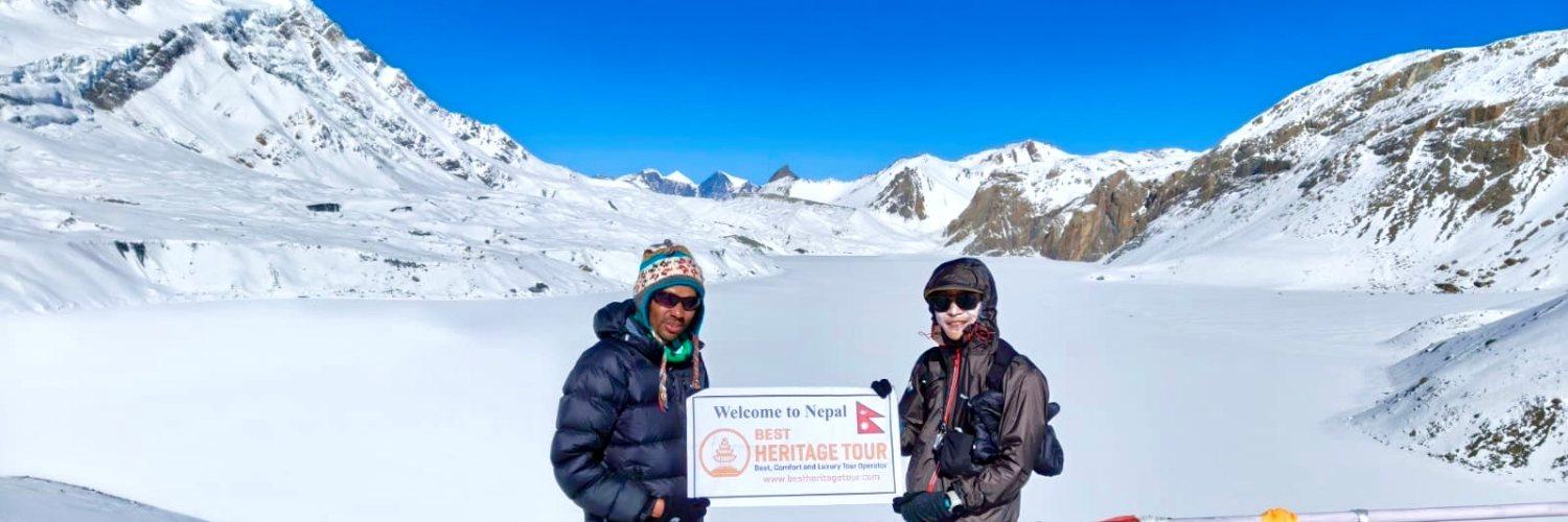
You cannot safely complete a day-hike to the turquoise waters of Tilicho Lake (4,919m) without utilizing Shree Kharka. The settlement serves as the base camp's launchpad. Trekkers typically leave their heavy duffel bags and main gear stored securely at a teahouse in Shree Kharka, moving onward to Tilicho Base Camp (4,150m) with only a light daypack. This makes traversing the narrow trails significantly safer.
The Ultimate Acclimatization Advantage
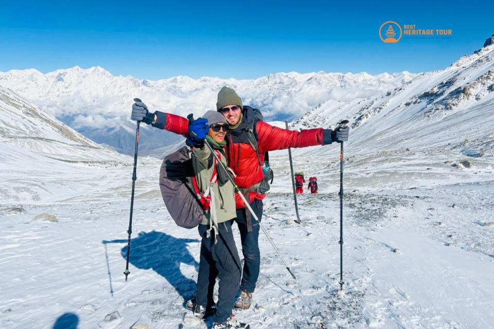
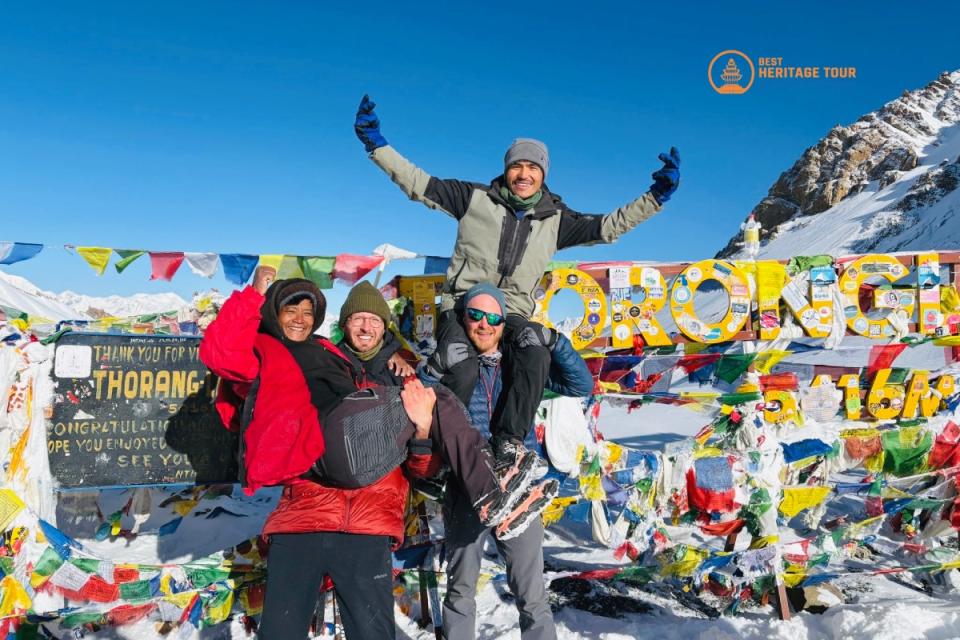
Spending a night or two at 4,060 meters in Shree Kharka does wonders for your body’s red blood cell production. If you choose to take the Tilicho Lake detour, by the time you return to the main trail to cross the daunting Thorong La Pass (5,416m), your body will have already adapted to high-altitude environments. Our guides consistently notice that trekkers who include the Shree Kharka side-trip experience far less physical distress on the final pass crossing than those who take the direct route.
How to Reach Shree Kharka: Itinerary & Trail Logistics
Reaching this remote village requires a steady, multi-day foot journey tracking up the Marshyangdi River valley. Below is the precise operational itinerary we utilize to balance scenic views with safe acclimatization.
Step-by-Step Approach Itinerary
|
Day |
Trail Segment |
Altitude |
Average Trekking Time |
|---|---|---|---|
|
Day 1 |
Drive from Kathmandu to Dharapani |
1,900 meters |
9-10 Hours (Jeep/Bus) |
|
Day 2 |
Trek from Dharapani to Chame |
2,670 meters |
5-6 Hours |
|
Day 3 |
Trek from Chame to Upper Pisang |
3,300 meters |
5-6 Hours |
|
Day 4 |
Trek from Upper Pisang to Manang Village |
3,540 meters |
6-7 Hours |
|
Day 5 |
Mandatory Acclimatization Day in Manang |
3,540 meters |
Rest / Day Hikes (Ice Lake) |
|
Day 6 |
Trek from Manang to Shree Kharka |
4,060 meters |
4-5 Hours via Khangsar |
|
Day 7 |
Trek from Shree Kharka to Tilicho Base Camp |
4,150 meters |
3-4 Hours |
|
Day 8 |
Hike to Tilicho Lake (4,919m) & return to Shree Kharka |
4,060 meters |
7-8 Hours |
|
Day 9 |
Trek from Shree Kharka to Yak Kharka |
4,020 meters |
4-5 Hours via Upper Khangsar |
Trail Conditions from Manang to Shree Kharka
Leaving Manang, the trail drops slightly toward the river before climbing a steady, scenic incline. You will pass through dense coniferous forests before the vegetation thins out into alpine shrubs.
The route leads you through the traditional Tibetan-influenced village of Khangsar. Beyond Khangsar, the path steepens significantly. As you crest the final ridges before Shree Kharka, you are rewarded with panoramic views of Gungang Himal, Mt. Chulu, and the iconic Tilicho Peak looming in the distance.
Accommodation, Culture, and Weather Realities
Teahouse Infrastructure
Despite its remote location, Shree Kharka features comfortable, well-run alpine teahouses. Lodges offer clean, stone-walled rooms, common dining halls warmed by central stoves, and gas-powered hot showers. The menus are packed with high-energy carbohydrates - including the local favorite, cheese Dal Bhat - perfect for fueling your high-altitude pushes.
Local Culture & Wildlife
The region is heavily shaped by Tibetan Buddhism. You will walk past ancient mani walls, colorful prayer flags, and the nearby thousand-year-old Tare Gumba monastery. Keep your camera ready on the slopes surrounding the village; this high-altitude ecosystem is prime territory for spotting herds of wild blue sheep (bharal) and the elusive snow leopard.
When to Visit Shree Kharka
-
Spring (March to May): Excellent visibility, mild daytime temperatures, and beautiful alpine blooms at lower elevations.
-
Autumn (September to November): The absolute peak season. The mountain skies are exceptionally clear, offering the sharpest views of the snow-capped peaks.
-
Winter (December to February): Extremely cold nights well below freezing. Heavy snowfall frequently blocks the higher trails to Tilicho Lake, and many lodges close for the season.
-
Monsoon (June to August): Not recommended. The trails become slippery and muddy, clouds completely obscure the mountain views, and the region faces elevated landslide risks.
Vital Safety Tips for Navigating the High-Altitude Trails
Trekking past 4,000 meters presents real environmental hazards. To ensure a safe journey, always keep these core rules in mind:
-
Respect the Landslide Zones: The trail section operating between Shree Kharka and Tilicho Base Camp crosses notorious scree and landslide areas. These sections feature narrow dirt paths carved directly into steep, loose-rock cliffs. Never stop to rest inside an active landslide zone, wear a helmet if rockfall risks are elevated, and listen closely to your guide’s instructions.
-
Use Trekking Poles: Your joints will face severe pressure during the long ascents and descents. Sturdy trekking poles are essential for maintaining your balance on loose gravel and uneven stone steps.
-
Hydrate Constantly: The high-altitude air is incredibly dry, and your respiration rate will increase. Drink between 4 to 5 liters of clean, treated water every single day to support your body's natural acclimatization process.
Conclusion
Shree Kharka is an indispensable sanctuary for any traveler looking to experience the raw, untouched beauty of the Annapurna region. It provides the perfect structural balance of physical rest, safety, and geographical accessibility, making it the definitive staging ground for your journey to Tilicho Lake.
Ready to explore the hidden valleys and high passes of Nepal with total peace of mind? At Best Heritage Tour, our experienced local guides, curated acclimatization schedules, and dedicated support teams handle all your permits, logistics, and trail safety from start to finish.
Contact Best Heritage Tour to Book Your Adventure
Phone / WhatsApp / Viber: +977-9851149197 / +977-9810043046
Email: info@bestheritagetour.com / bestheritagetour@gmail.com
Website: www.bestheritagetour.com
Office: Thamel Marg, Kathmandu, Nepal
Frequently Asked Questions (FAQ)
Can I travel directly from Kathmandu to Shree Kharka by jeep?
No, there is no direct road to Shree Kharka. While rough dirt roads now reach as far as Manang Village for emergency and supply vehicles, traveling directly by vehicle to that altitude places you at extreme risk for severe altitude sickness. You must trek gradually over several days to allow your body to adapt.
Is the trail from Shree Kharka to Tilicho Base Camp dangerous?
The trail is considered moderately difficult and adventurous. The main challenge is a legendary landslide sector characterized by steep, eroded scree slopes. While thousands of trekkers safely navigate this path every year, it requires total focus, a steady foot, clear weather conditions, and experienced local leadership.
What permits do I need to visit Shree Kharka?
Because Shree Kharka sits deep within the protected Annapurna Region, you must secure two main permits before your trip: the Annapurna Conservation Area Project (ACAP) Permit and the Trekkers' Information Management Systems (TIMS) Card. Both of these are checked at various mountain checkpoints along your route.
Author: Best Heritage Tour
Date: 7th July, 2026