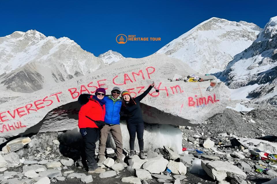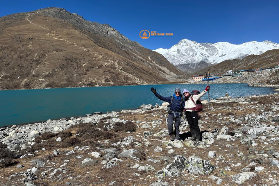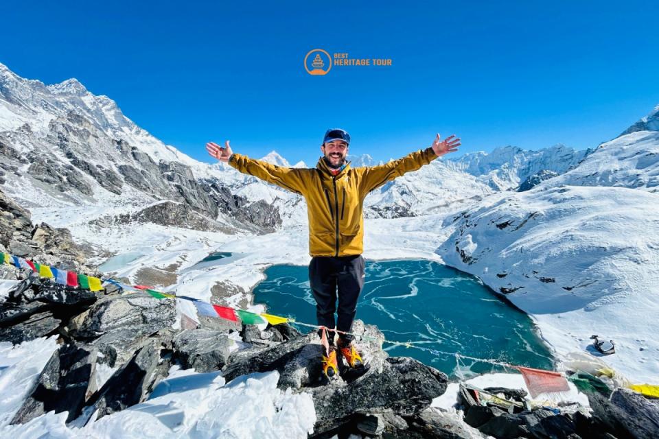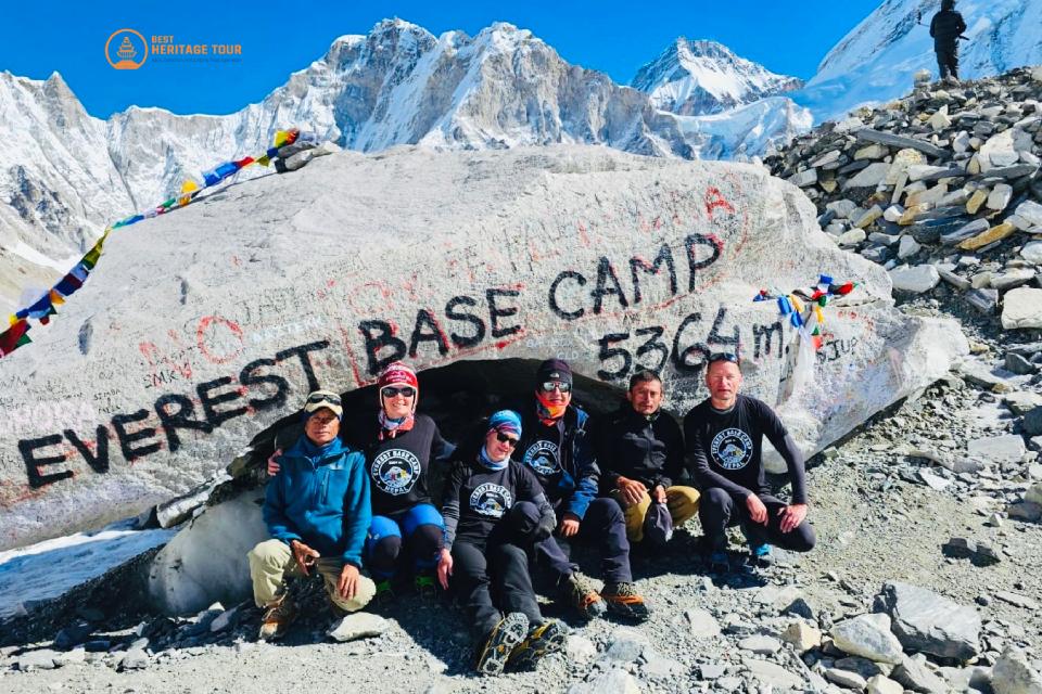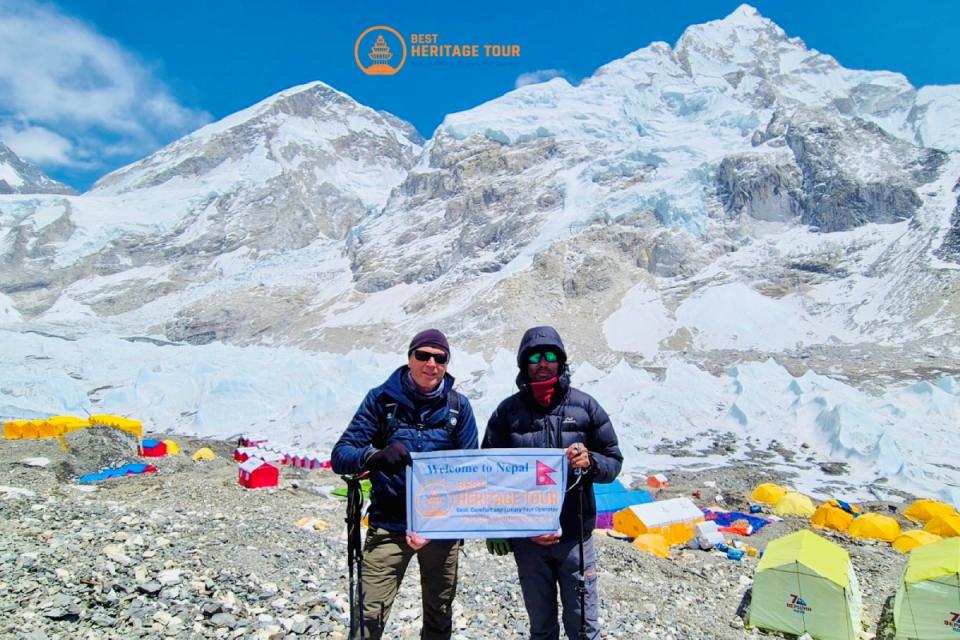
Every trekker who embarks on the iconic journey through the Khumbu region shares a singular, burning desire: to stand face-to-face with Mount Everest. However, a little-known geographical secret surprises many first-time travelers. When you finally stand at Everest Base Camp (EBC) itself, the towering shoulder of Nuptse actually blocks the summit of the world's highest peak from view.
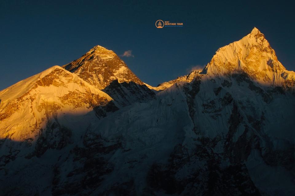
To witness the ultimate, unobstructed, 360-degree panoramic spectacle of Everest turning gold under the morning sun, you must ascend a legendary rocky ridge nearby. That vantage point is Kala Patthar.
At Best Heritage Tour, our team of veteran Himalayan guides has led hundreds of adventurers across these rugged landscapes. We know that the final push to this famous landmark is often the most physically demanding yet emotionally profound morning of a trekker's life.
If you are planning your adventure, you likely have several burning questions. How is the Trail from Gorakshep to Kala Patthar? What is the actual Distance from Gorakshep to Kala Patthar? How far is the Kala Patthar from Gorakshep in terms of time, effort, and elevation gain?
In this comprehensive, boots-on-the-ground guide, our team breaks down every single detail of this world-class alpine route. We share our professional insights to ensure you are fully educated, prepared, and inspired to conquer the highest point of your trekking journey.
Understanding the Geography: Where Earth Meets the Sky
To understand the Trail from Gorakshep to Kala Patthar, we must first look at the landscape of the high Khumbu. Gorakshep (5,164 meters / 16,942 feet) is the final inhabited outpost of teahouses on the Everest Base Camp route. It sits on the edge of a vast, frozen, ancient lake bed, right beneath the looming, dark mass of Kala Patthar.
The name "Kala Patthar" literally translates to "Black Rock" in Nepali and Hindi. It is not an independent mountain, but rather a prominent, wind-swept ridge extending down from the majestic south face of Mount Pumori. What makes this specific black hill so globally famous is its perfect spatial alignment. It offers a completely open, high-angle viewpoint directly facing the Western Cwm, the Khumbu Icefall, Nuptse, Lhotse, and the crown of Mt. Everest (8,848.86 m).
Distance from Gorakshep to Kala Patthar: The Mathematical Breakdown
When planning this climb, looking strictly at the horizontal mapping distance can be incredibly deceiving. Let’s break down the exact numbers every traveler needs to know before stepping out of their teahouse.
How Far is the Kala Patthar from Gorakshep?
-
One-Way Horizontal Distance: Approximately 1.5 kilometers (0.93 miles)
-
Total Round-Trip Distance: Roughly 3.0 kilometers(1.86 miles) returning back to your lodge in Gorakshep.
-
Starting Elevation (Gorakshep): 5,164 meters (16,942 feet).
-
Summit Elevation (Kala Patthar Viewpoint): 5,545 meters (18,192 feet) - though the absolute highest geographic rocky point on the ridge reaches up to 5,644 meters (18,517 feet).
-
Vertical Elevation Gain: Around 400 meters (1,312 feet) of continuous, unrelenting uphill climbing.
Gorakshep: 5,164m → 1.5 km (Steep Ascent) → Kala Patthar: 5,545m
Looking at a map, a 1.5 kilometer walk sounds like a casual afternoon stroll through a city park. But at this altitude, that modest distance represents an intense, high-altitude vertical ladder.
Because you are gaining 400 meters of elevation over such a short horizontal distance, the average gradient of the slope is remarkably steep. This is exactly why measuring your journey in hours rather than kilometers is vital for safety.
How is the Trail from Gorakshep to Kala Patthar? A Step-by-Step Virtual Walkthrough
To give you an authentic, human feel for what to expect, let our guiding team walk you through the actual terrain, step by painful but glorious step.
Phase 1: The Pre-Dawn Frozen Lake Bed
Most groups organized by Best Heritage Tour wake up between 3:30 AM and 4:30 AM to catch the sunrise. When you step outside your teahouse into the pitch black, the temperature routinely hovers between -10℃ to -20℃ (14℉ to -4℉). The air is crisp, still, and completely biting.
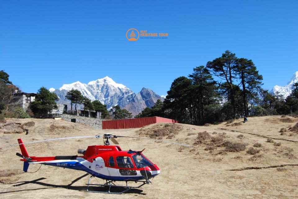
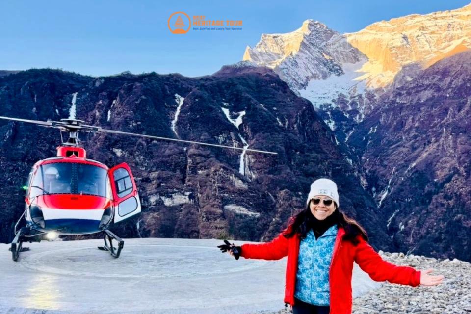
The trail begins with a brief, gentle descent out of the main cluster of lodges. You will cross the flat, sandy, dried-out bed of the old Gorakshep lake, passing right next to the local helicopter landing pad. Under the beam of your headlamp, the ground here is frozen solid, crunching softly under your trekking boots. This flat stretch lasts only a few minutes - enjoy it, because it is the last flat terrain you will see until you return.
Phase 2: The Sandy Switchbacks
As soon as you cross the dry lake bed, the trail hits the base of the ridge and turns sharply upward. The lower section of Kala Patthar consists of a heavily braided trail carved into steep, sandy, and gravelly slopes.
The terrain here is a mix of loose dirt, scree, and small pebbles. Because the incline is immediate, your heart rate will skyrocket within the first ten minutes. The thin air - containing only about 50% of the oxygen molecules available at sea level - forces you to establish a rhythmic, synchronized breathing pattern. Our guides will constantly remind you: "Bistarai, bistarai" (slowly, slowly).
Phase 3: The Exposed Alpine Ridge
After pushing through the endless zigzagging switchbacks, the loose dirt begins to give way to hard-packed alpine soil, tundra grass, and exposed rock. As you gain height, you leave the relative shelter of the lower bowl and step onto the open ridge line.
Here, the wind typically picks up, blowing intensely across the Khumbu Glacier valley. The trail follows the spine of the ridge, slanting toward the eastern side of the mountain. By this time, the first faint, deep-blue light of dawn begins to outline the massive silhouettes of Nuptse and Changtse. Every few steps, you will want to stop, lean heavily on your trekking poles, and catch your breath as the sheer scale of the landscape reveals itself.
Phase 4: The Final Boulder Scramble to the Summit
The last 50 to 100 meters of the trail changes character entirely. The distinct path fades away, replaced by an expansive field of giant, wind-scoured black boulders and jagged granite rocks.
To reach the true viewpoint where the prayer flags dance furiously in the wind, you must engage in a light, non-technical scramble over these large boulders. Your hands will come out of your pockets to balance your weight on the cold stone. We always advise our travelers to take extreme caution here; frost or light snow patches can make these boulders incredibly slick.
Once you pull yourself over the final edge, you are there. Thousands of colorful Buddhist prayer flags flutter around you, a small automatic weather reading station stands to your side, and the entire Everest massif unfolds before your eyes in absolute cosmic silence.
Time Requirements: Ascending and Descending Safely
Because the Distance from Gorakshep to Kala Patthar is short but incredibly high, your speed will drop significantly compared to your trekking pace down in Namche Bazaar.
|
Trekking Phase |
Average Time Required |
Trail Characteristics |
|---|---|---|
|
The Ascent (Upward Climb) |
1.5 to 3 Hours |
Continuous steep incline, rocky switchbacks, thin air, and cold pre-dawn conditions. |
|
Time Spent at the Summit |
15 to 30 Minutes |
Photography, celebration, and taking in the panoramic views. (Limited to avoid extreme cold/AMS). |
|
The Descent (Downward Walk) |
1 to 1.5 Hours |
Rapid altitude loss, steep steps on loose gravel, heavy pressure on knees and thighs. |
|
Total Round-Trip Journey |
3 to 4.5 Hours |
A comprehensive morning excursion before breakfast. |
Why the Altitude Makes this 1.5 km Trail a Strenuous Challenge
We are often asked by enthusiastic clients: "If it's just 1.5 kilometers, why does it take up to three hours to climb?" The answer lies entirely within atmospheric physics and human physiology.
At 5,545 meters above sea level, you are entering the realm of Extreme High Altitude. The barometric pressure is significantly lower, meaning the air molecules are spread incredibly far apart. With every single breath you take, your lungs pull in roughly half the amount of oxygen they do at the beach.
Your body compensates by forcing your heart to pump faster and your lungs to hyperventilate just to deliver basic oxygenation to your muscles. Every single step up a steep incline requires immense muscular effort and willpower. A pace that feels like a slow-motion crawl is actually the correct, sustainable, and medically safe way to navigate this trail.
Sunrise vs. Sunset at Kala Patthar: Choosing Your Perfect Magic Hour
At Best Heritage Tour, we customize our itineraries based on our clients' specific preferences, photographic goals, and physical stamina. Both times of day on Kala Patthar offer completely unique visual experiences.
The Sunrise Climb (The Classic Choice)
-
The Experience: You hike up in the freezing, dark quiet of night. When the sun breaches the horizon behind the mountain wall, the pitch-black silhouette of Mt. Everest suddenly catches the first rays of light, glowing in brilliant shades of pink, neon orange, and radiant gold.
-
Pros: Weather is historically more stable and clear in the early mornings. It leaves the rest of your day completely free to trek down to lower, warmer elevations like Pheriche or Pangboche.
-
Cons: Bitterly cold temperatures during the ascent, requiring top-tier thermal gear and heavy mental endurance.
The Sunset Hike (The Photographer’s Secret)
-
The Experience: You ascend in the afternoon during the warmest part of the day. As the sun sets in the west (behind you), it shines a giant, warm, golden spotlight directly onto the colossal face of Mt. Everest, creating an unbelievable alpenglow.
-
Pros: Much warmer climbing temperatures during the ascent. The lighting on Everest is technically superior for photography because the sun is shining onto the mountain face rather than rising from behind it.
-
Cons: Clouds frequently roll in by mid-afternoon in the Himalayas, meaning you risk standing in a blanket of white fog with zero views. Furthermore, you must descend the steep, rocky switchbacks in the dark with headlamps.
The Magnificent Reward: What You See from the Kala Patthar Summit
When you finally conquer the Distance from Gorakshep to Kala Patthar and stand among the wind-whipped prayer flags, the physical exhaustion evaporates instantly. The panorama from the summit is universally regarded as one of the most spiritually moving sights on Earth.
Directly ahead of you rises the dark, jagged pyramid of Mount Everest, standing in raw, unparalleled dominance. The entire Khumbu Icefall - a massive, cascading river of fractured white ice and deep crevasses - stretches out directly below your feet like a miniature map. To your left, the elegant, ice-symmetric needle of Pumori pierces the sky. To your right, the giant, vertical rock walls of Nuptse and Lhotse frame the horizon, while the iconic, beautiful silhouette of Ama Dablam floats majestically in the distance.
It is a moment of pure, unadulterated triumph - a memory that will remain etched into your soul for the rest of your days.
Conclusion
Navigating the extreme altitudes of the Sagarmatha National Park requires far more than just a map and a backpack. It requires local expertise, meticulous logistics, a deeply rooted respect for mountain culture, and a company that prioritizes your safety above everything else.
At Best Heritage Tour, we specialize in crafting deeply authentic, perfectly paced, and culturally rich trekking experiences across Nepal. Our elite teams of local Sherpa guides, comprehensive emergency networks, and hand-selected teahouse partnerships ensure that your journey to Everest Base Camp and Kala Patthar is seamless, inspiring, and profoundly unforgettable.
Let us take care of the details while you focus entirely on the journey of a lifetime.
Phone / WhatsApp / Viber: +977-9851149197 / +977-9810043046
Email: [email protected] / [email protected]
Website: www.bestheritagetour.com
Office: Thamel Marg, Kathmandu, Nepal
Author: Best Heritage Tour
Date: 27th May, 2026