Tucked away in the remote corners of Nepal, the Manaslu Circuit Trek is a breathtaking adventure around the world’s eighth highest mountain, Mt. Manaslu (8,163 m / 26,781 ft). If you're planning this off-the-beaten-path journey, the Manaslu Circuit Trek map is your ultimate companion for understanding the trail, planning your itinerary, and staying safe.
With fewer crowds, dramatic landscapes, and rich cultural encounters, this trek is a perfect alternative to the crowded Everest or Annapurna regions. Let’s dive into the full route, key villages, altitude profile, and how to best use the map for your journey.
Why the Manaslu Circuit Trek Map Matters
A detailed map of the Manaslu Circuit Trek helps you:
-
Navigate daily distances and elevations
-
Identify major villages and overnight stops
-
Track rivers, valleys, and mountain passes
-
Plan rest days and acclimatization points
-
Estimate food and water stops
Whether you're trekking solo or with a guide, a map gives you confidence and awareness throughout the trek.
Overview of the Manaslu Circuit Trek Route
-
Total Distance: ~177 km (110 miles)
-
Duration: 14–18 days
-
Highest Point: Larke La Pass (5,106 m / 16,752 ft)
-
Start Point: Soti Khola or Machha Khola
-
End Point: Dharapani (connects to the Annapurna Circuit)
Key Stops on the Map (Classic Itinerary)
-
Soti Khola (710 m) – Lush forests and waterfalls
-
Machha Khola (900 m) – Entry to Manaslu Conservation Area
-
Jagat (1,410 m) – Checkpoint for permits
-
Philim / Deng – Remote Tamang villages
-
Namrung (2,660 m) – First clear views of Manaslu
-
Lho (3,180 m) – Traditional Tibetan village
-
Samagaon (3,530 m) – Acclimatization stop, side trip to Manaslu Base Camp
-
Samdo (3,875 m) – Last village before the pass
-
Dharamsala (4,460 m) – Base camp for Larke La Pass
-
Larke La Pass (5,106 m) – High point of the trek
-
Bimthang (3,590 m) – Scenic alpine valley after the pass
-
Dharapani (1,963 m) – Connects to the Annapurna Circuit
? Trekking maps often include altitude profiles and estimated trekking hours per section to help manage pace and rest.
Altitude Profile and Acclimatization
The Manaslu trek includes a gradual ascent but still reaches above 5,000 meters. Proper acclimatization is key to avoid AMS (acute mountain sickness). Most maps will highlight rest days in Samagaon and Samdo, which are crucial for a safe climb over Larke La.
How to Use the Manaslu Circuit Map Effectively
-
✔ Track your elevation daily with an altitude chart
-
✔ Check distances between villages to plan overnight stops
-
✔ Note natural features like rivers, bridges, and landslide-prone areas
-
✔ Offline Navigation: Download maps using apps like Maps.me or Gaia GPS
-
✔ Paper Backup: Always carry a physical trekking map as backup
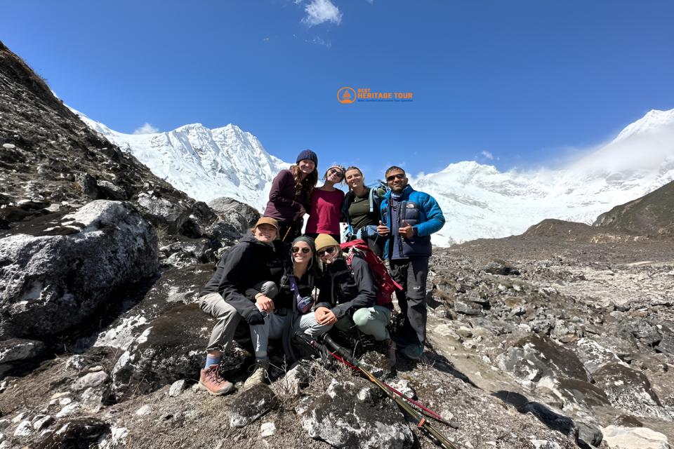
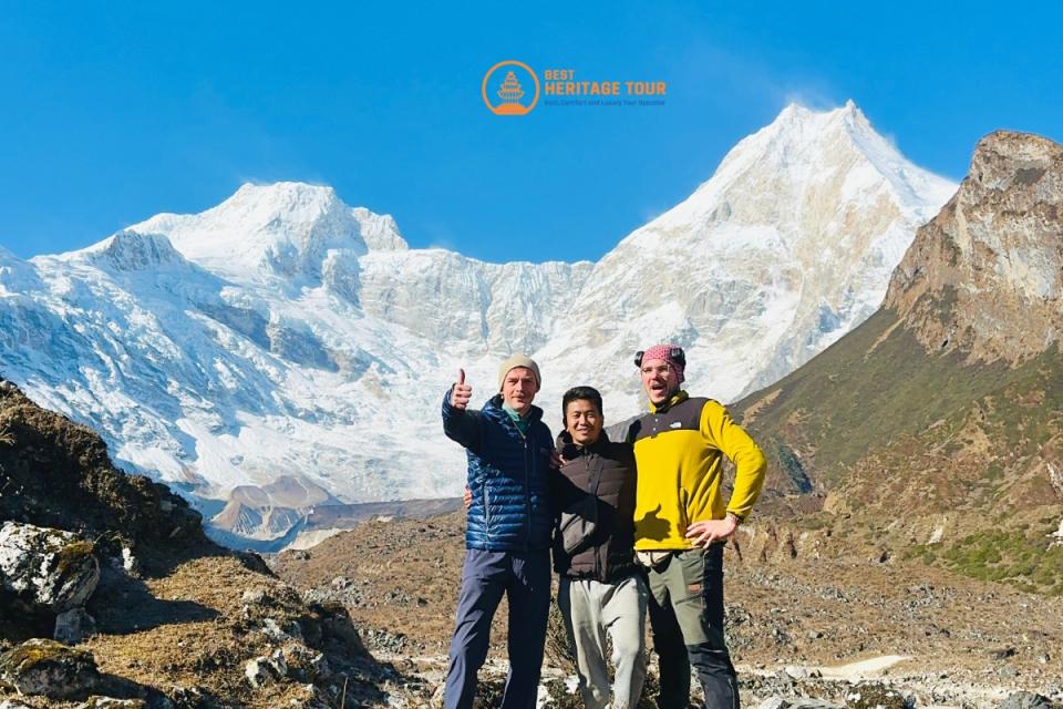
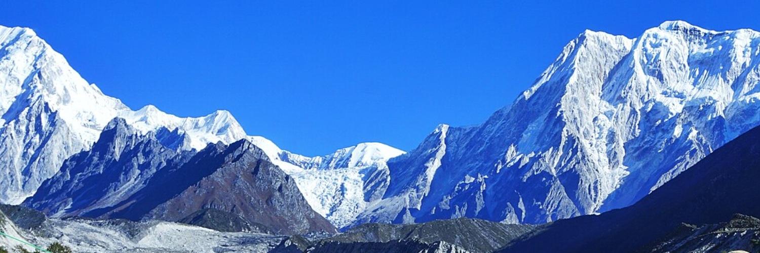
Highlights Along the Trek
-
Epic views of Mt. Manaslu, Himalchuli, and Ganesh Himal
-
Crossing the dramatic Larke La Pass
-
Glacial lakes and river gorges
-
Remote Tibetan-influenced villages
-
Buddhist monasteries and prayer walls
Best Time to Trek Manaslu Circuit
-
Spring (March–May): Blooming rhododendrons, stable weather
-
Autumn (September–November): Clear skies and best mountain views
-
Winter (Dec–Feb): Cold and snow at the pass, only for experienced trekkers
-
Monsoon (June–Aug): Risky due to landslides and poor visibility
Permit Requirements
To trek Manaslu, you need:
-
Manaslu Restricted Area Permit (RAP)
-
Manaslu Conservation Area Permit (MCAP)
-
Annapurna Conservation Area Permit (ACAP)
-
Registered guide – Mandatory (individual trekking is not allowed)
Maps often mark checkpoints where permits are checked, such as Jagat and Sama Gaon.
Manaslu Circuit vs Other Treks
| Feature | Manaslu Circuit | Everest Base Camp | Annapurna Circuit |
|---|---|---|---|
| Crowds | Low | High | Medium |
| Altitude | 5,106 m | 5,364 m | 5,416 m |
| Duration | 14–18 days | 12–14 days | 15–20 days |
| Culture | Tibetan-influenced | Sherpa | Mixed |
| Difficulty | Challenging | Moderate | Moderate-Challenging |
Final Thoughts
The Manaslu Circuit Trek map is an essential tool for exploring one of Nepal’s most stunning and less-traveled regions. With dramatic landscapes, remote villages, and cultural richness, the trek offers a raw and authentic Himalayan experience. Understanding the map helps you trek smarter, stay safer, and truly enjoy every step of this incredible adventure.
Ready to trek?
Book now or get more info now:
- Phone/WhatsApp/Viber: +9779851149197 / +9779810043046
- Email: bestheritagetour@gmail.com / info@bestheritagetour.com
- Website: www.bestheritagetour.com
- Location: Thamel Marg, Kathmandu, Nepal
Author: Best Heritage Tour
Date: 11th July, 2025