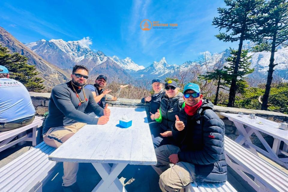
If you’re dreaming of trekking to Everest Base Camp (EBC), understanding the Everest Base Camp map is crucial for planning a successful and safe adventure. This comprehensive guide will walk you through the entire route, key stops, altitude profile, and helpful tips to make your trek unforgettable.
Why You Need the Everest Base Camp Map
The trek to Everest Base Camp covers approximately 130 kilometers (80 miles) round trip through stunning Himalayan landscapes, Sherpa villages, and dramatic mountain passes. A detailed map helps you:
-
Visualize the daily trekking distances
-
Identify critical acclimatization points
-
Prepare for altitude changes and terrain challenges
-
Plan your itinerary effectively
Knowing the route in advance improves your confidence and helps prevent altitude sickness by pacing your ascent properly.
Overview of the Everest Base Camp Trek Route
Starting Point: Lukla (2,860 m / 9,383 ft)
Your trek begins with a thrilling flight from Kathmandu to Lukla, a small mountain town with the only airport that serves as the gateway to the Everest region.
Key Stops Along the Way:
-
Phakding (2,610 m / 8,563 ft): First overnight stop, gentle trails alongside the Dudh Koshi river.
-
Namche Bazaar (3,440 m / 11,286 ft): The bustling Sherpa hub and main acclimatization stop, with shops and cafes.
-
Tengboche (3,860 m / 12,664 ft): Famous for its Buddhist monastery and panoramic views.
-
Dingboche (4,410 m / 14,469 ft): Another important acclimatization village with breathtaking mountain vistas.
-
Lobuche (4,910 m / 16,109 ft): The last major settlement before Base Camp.
-
Gorak Shep (5,164 m / 16,942 ft): Final stop before Everest Base Camp, used as a base for early morning climbs to Kala Patthar.
-
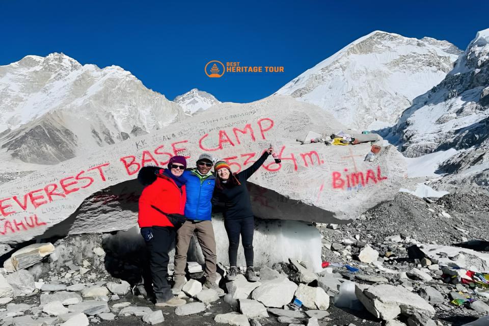
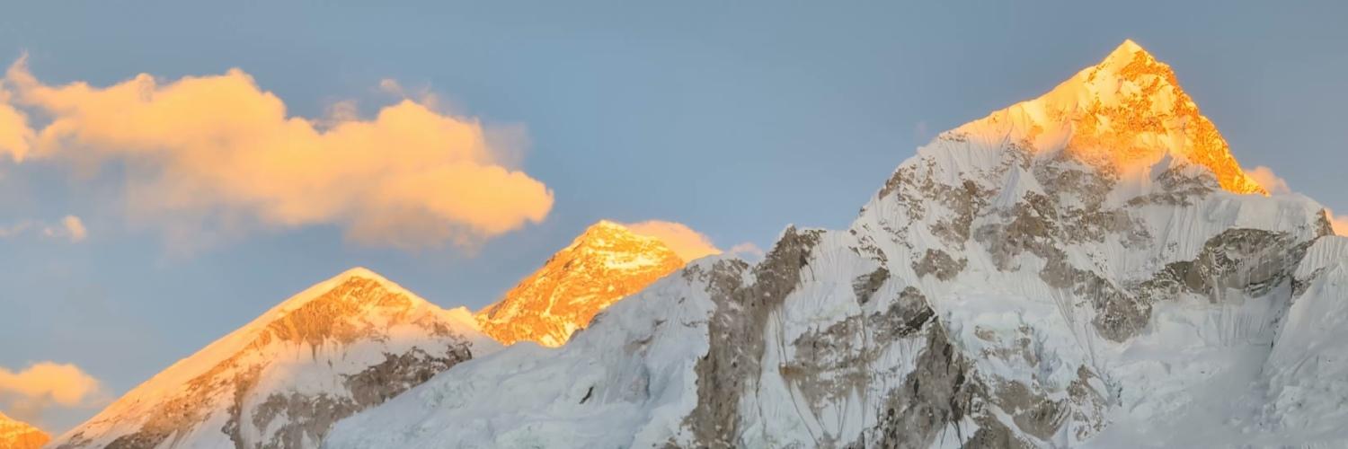
Everest Base Camp (5,364 m / 17,598 ft): The iconic destination where climbers begin their ascent to the summit.
Altitude Profile and Acclimatization
Proper acclimatization is vital to avoid altitude sickness. The Everest Base Camp map shows gradual elevation gain with built-in rest days at Namche Bazaar and Dingboche. These stops help your body adjust to thinner air.
How to Use the Everest Base Camp Map for Trek Planning
-
Track daily distances: Most days involve 4–7 hours of trekking, but distances can vary depending on your pace.
-
Identify water and food stops: Villages along the route provide tea houses and lodges.
-
Know your altitude gains: Helps you monitor how your body is handling the ascent.
-
Weather awareness: Map and elevation data help anticipate colder, windier conditions higher up.
Tips for a Successful Trek Using the Map
-
Study the route beforehand: Familiarize yourself with distances and terrain.
-
Use GPS or trekking apps: Many apps provide offline maps to complement your paper map.
-
Hire a local guide: They know the terrain and can help adjust plans if needed.
-
Plan acclimatization days: Don’t rush to higher altitudes.
-
Carry a detailed map: Even if you use digital tools, a physical map is a reliable backup.
Conclusion
The Everest Base Camp map is your essential tool for navigating one of the world’s most famous trekking routes. It empowers you to plan your days, manage altitude challenges, and immerse yourself in the majestic Himalayan scenery with confidence.
Whether you’re a beginner or an experienced trekker, understanding the route on a map will enhance your experience and safety. So grab your map, lace up your boots, and get ready to explore the trail to the “Roof of the World.”
Ready to trek?
Book now or get more info now:
- Phone/WhatsApp/Viber: +9779851149197 / +9779810043046
- Email: bestheritagetour@gmail.com / info@bestheritagetour.com
- Website: www.bestheritagetour.com
- Location: Thamel Marg, Kathmandu, Nepal
Author: Best Heritage Tour
Date: 11th July, 2025